

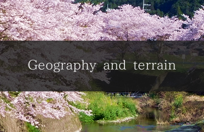
What is the Hikami Kairo?
The Hikami Kairo (corridor) is a lowland zone connecting the Kako River that flows into the Seto Inland Sea and the Yura River that flows into the Sea of Japan.
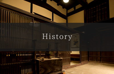
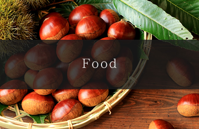
This unusual zone called the Hikami Kairo stretches over the Tamba area that is known for Tamba chestnuts, Tamba black soybeans, Tamba dainagon adzuki beans, and other products and across the satoyama landscape towards Banshu and Tango.
The climate and rich culture here is strongly connected to the Hikami Kairo.
Geographically, the Hikami Kairo lowland runs in the north-south direction from the most downstream point of the Kako River in Kakogawa City, Hyogo Prefecture, to the most downstream point on the Yura River in the inland area of Kyoto Prefecture (from Fukuchiyama City to Miyazu City and Maizuru City in Kyoto Prefecture).
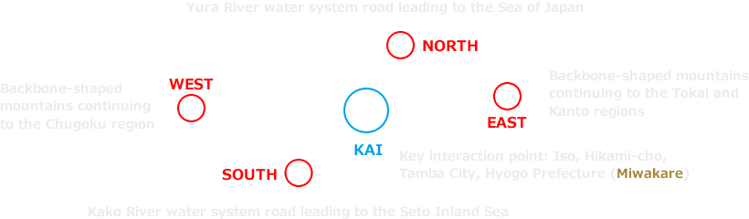
It is on the inland part of the main island down which runs a line of mountains that are between 1,000 and 3,000 m high. From this mysterious natural terrain, you can cross over to the main island at Iso, Hikami-cho, Tamba City, Hyogo Prefecture that is a mere 95 m above sea level.
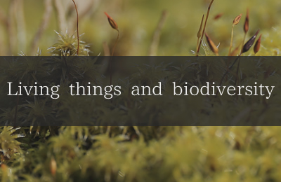
At this unique terrain, the Seto Inland Sea climate from the south converges with the Sea of Japan side climate from the north, creating an unusual mix of flora and fauna and sparking the development of rich culture and history.

- Rich nature and culture surrounding the Hikami Kairo
Iso, Hikami-cho, Tamba City, Hyogo Prefecture.
In this place, there is an area called a Miwakare (watershed). It is in the middle of the backbone-shaped mountains (central drainage divide) that traverses the islands of Japan and is the lowest lying central drainage divide on the main island of Japan. It is a mere 95 m above sea level.
Part of the rainwater falling here goes to the Seto Inland Sea via the Kako River, and the remaining part flows to the Sea of Japan through the Yura River.
This lowland zone surrounded by mountains is a path connecting the Seto Inland Sea and the Sea of Japan.
Its name is the Hikami Kairo.
The rich nature and culture surrounding the Hikami Kairo has special characteristics that exceed physical and temporal boundaries and are not seen in other regions.
This environment has had many different effects on the local nature and lifestyles. Pondering the Hikami Kairo is equal to thinking about the natural environment in which we live. It is the perfect place to use the rich nature and culture surrounding the Hikami Kairo as an opportunity to focus on two major concerns of the modern society -- global warming and biodiversity.
About the logo
The Hikami Kairo is a lowland corridor passing in the south-north direction from the Seto Inland Sea to the Sea of Japan through the middle of the backbone-shaped mountains (central drainage divide) that runs across the main island in the east-west direction. Because of its unique geographical characteristics, it has experienced many climate changes from the distant past to the present, and has remained a path for flora and fauna as well as humankind throughout that time. This logo embraces all the geographical characteristics of the east-west mountain range and the northnorth-south corridor as well as the unique characteristics of the key interaction point for wild creatures and people.
ロゴイメージ
- The double square Chinese character in the middle represents the meeting of people and other living creatures who have gathered from all four directions.
- The lines extending up and down and to the right and left represent the south-north north-south corridor (lowland area) and the east-west mountain range (central drainage divide).