

What are designated important Satochi and Satoyama?
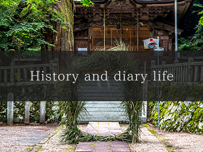
History and diary life
According to the Engishiki book of laws and customs from the Heian period, the Tozaka ridge was the border between Tamba Province and Tajima Province. It was a place men and horses passed through on the San'in Road (Tajima Road), and there was a post house called Saji (currently Saji, Aogaki-cho, Tamba City, Hyogo Prefecture) in Tozaka on the Tamba Province side and a post house called Awaga (currently Awaga, Santo-cho, Asago City, Hyogo Prefecture) on the Tajima Province side.
This area has come to be called the Tozakadani (Tozaka valley), but different Chinese characters are used to refer to the entire region and to the furthermost ridge that are both called Tozaka.
- Transportation development
This used to be the border between Tamba Province (formerly Hikami District) and Tajima Province (formerly Asago District) and is currently the border between Tamba City and Asago City. To the north, it is adjacent to Fukuchiyama City in Kyoto Prefecture (formerly Yakuno-cho) passing through Chiharu Pass and is in a spot that is roughly equidistant from Osaka/Kobe, Kyoto, and the Sea of Japan.
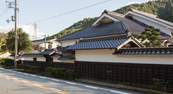
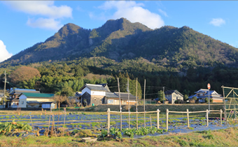
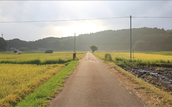
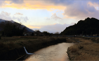
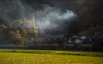
The Tozaka area that is made up of four villages -- Imade, Tozaka, Wada, and Tokubata -- is surrounded by mountains. The valley was formed by the Tozaka River that is the furthest upstream of the Kako River and there are settlements and fields sprinkled along the flow of the river.
In the modern era, the Hyogo Prefectural Road Santo-Kaibara Line passes through Tozaka ridge. This was one important route connecting Tamba and Tajima, but it often became blocked with deep snow in the winter.
In 1977, the Hyogo Prefectural Road Public Corporation built the Tozaka tunnel so that people could pass through the Tozaka ridge all year round. This road then became National Route 427 in 1982 and became an overlap section for National Route 483 in 1993. In 2006, the Kitakinki Toyo-Oka Expressway was opened, dramatically increasing the convenience of transportation through the area.
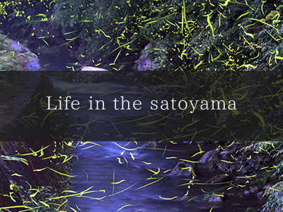
- Lifestyles
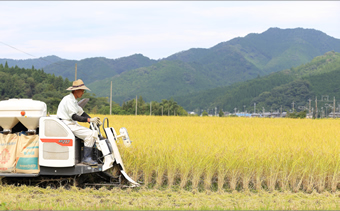
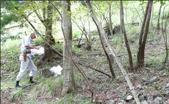
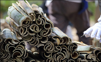
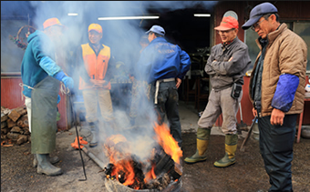
People in the area came to the mountains for the abundant bounties of nature, including fuel such as kindling used for cooking and firewood used for heating, mountain vegetables, and yams, and the people cultivated fields in the land in the valley and have continued to live here.
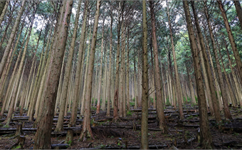
After the war ended, the forestry industry expanded, planting and logging cedars and cypress trees on the mountains, and the villages flourished. Until the late 50's and early 60's, silkworm culture to extract silk thrived in this area, and you could see mulberry fields for the silkworms dotted along the foot of the mountains.
In this manner, the satoyama, agricultural fields, ponds, grassy plains, and other elements of the environment have been mixed together like a mosaic since long ago. Agriculture and forestry have been carried out for many years here and the optimal amount of human involvement in the hilly areas has resulted in the development of the perfect Satochi/Satoyama.
- Major landowner in Tozaka
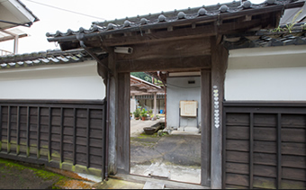
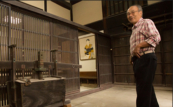
The Ikuta residence of a major landowner in Tozaka has a record of providing lodging to Ino Tadataka and his crew who spent 17 years from 1800 to 1816 measuring the entire Japanese islands to create an accurate map of Japan called the Dai Nihon Enkai Yochi Zenzu.
As there were shops built along the road for travelers through Tozaka ridge to take a break, residents still call each other by their shop names, creating a scene that reminds you of people’s past livelihoods.
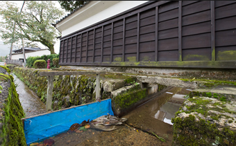
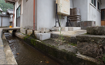
There were few wells in the Tozaka villages, so there are Machimizo ditches to bring water from the Imade River and ponds and the water there was used for cooking, laundry, and bathing. At the Ikuta residence, you can still see the Machimizo that brought water onto the plot.
- Historical resources in the Tozaka area
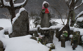
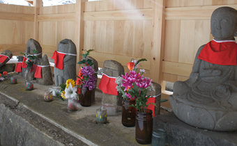
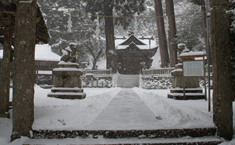
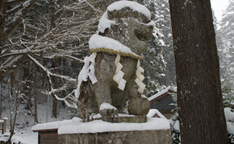
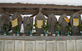
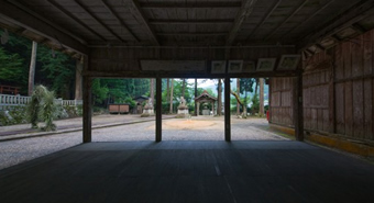
Kumano Shrine
In the days of Emperor Kameyama (1259 to 1274), the spirit of the main shrine of the Kii Kumano Shrine was brought to Kami-gomori fall in Mt.Ishiri that is 2 km away from the current shrine and the shrine was relocated to its current location in 1459.
It is also called the Imade Gongen and has been revered as the god of life by people in Settsu, Tamba, and the former Tajima Province since long ago.
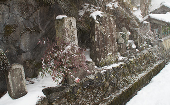
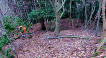
Tozaka castle ruins
This was the residence of Adachi Izunokami Tohtaka, the third son of Adachi Tohmasa. You can still see the remains of the triple moat and six structures. In the Tamba attack of 1579, Adachi Ukon Mitsunaga who was the current resident of the castle fought hard against Hashiba Hidenaga, but the water was cut off and the castle fell to the enemy.
Ikuta residence
This is the residence of a major landowner in Tozaka. It was used as an official inn for lodging by Ino Tadataka who completed an accurate map of Japan in the Edo period called the Dai Nihon Enkai Yochi Zenzu. It is said that the crew that was in the process of measuring the entire country was received here and given hospitality.